Town guide: Vail
Vail, Colorado, up valley from Avon
Vail, Colorado is the mountain town and ski resort east of Avon, up valley on I-70 past Eagle-Vail and through Dowd Canyon. Core Transit buses run between the two towns, and Vail's official visitor site says the town's own buses are free once you arrive.
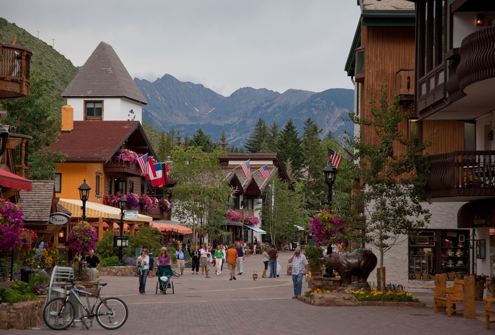
Gore Creek Drive, Vail Village, July. Photo: Nick Csakany, CC BY SA 4.0
Route card
From Avon to Vail.
- Where
- East of Avon, up valley on I-70 beyond Eagle-Vail and Dowd Canyon.
- By road
- CDOT lists exits 173, 176 and 180 as the Vail interchanges. Between Eagle-Vail and Vail, Dowd Canyon has variable speed limit signs that change with traffic, weather and road conditions.
- By bus
- Core Transit (formerly ECO Transit) runs its Valley Route and Highway 6 Route between Avon and Vail, and adds the seasonal Vail/Beaver Creek Express in winter. These trips are fare free; Core Transit charges only on trips to and from the airport, Gypsum or Leadville.
- Also
- Shift Bike, the valley's electric bike share, runs from East Vail to Edwards and has a hub at Avon Station.
Routes and seasons change. Confirm on the operator's own site before you set out.
- Exits 173, 176, 180
- The Vail interchanges on I-70Source: Colorado Department of Transportation
- 1962
- Year the Vail ski resort openedSource: Vail Resorts
- 4,835
- Town of Vail residents, 2020 CensusSource: US Census Bureau
- 133,496 acres
- Eagles Nest Wilderness, with the Gore RangeSource: USDA Forest Service
What kind of town is Vail?
Vail's official visitor site says construction of Vail began in spring 1962 and that the Town of Vail was incorporated by fall 1966. According to Vail Resorts, the ski resort opened in 1962, founded by Pete Seibert and Earl Eaton, with one gondola, two chairlifts and eight trails.
The name comes from Charlie Vail, the engineer behind the road over Vail Pass; the town, the road and the resort all carry it. Many trail, area and building names on Vail Mountain honor the 10th Mountain Division, the World War II infantry unit that trained at Camp Hale.
The 2020 Census counted 4,835 people in the Town of Vail, and the Census Bureau's estimate for July 2025 was 4,407. Vail is the easternmost stop in our guides to the Vail Valley towns.
Driving and riding from Avon to Vail
Eastbound from Avon, I-70 passes Eagle-Vail and enters Dowd Canyon, which CDOT places between mile points 169 and 173. The variable speed limit signs there respond to traffic, weather and road conditions, so the posted limit is not fixed. Our page on Eagle-Vail, at the west end of the canyon, covers the community you pass first.
| I-70 exit | CDOT's name | Worth knowing |
|---|---|---|
| 173 | West Vail | The first Vail exit eastbound, at the east end of Dowd Canyon |
| 176 | Vail Town Center | CDOT's Vail Underpass near mile point 175 links the north and south frontage roads between 173 and 176 |
| 180 | East Vail Interchange | Where the West Vail Pass climbing lanes begin, running to the rest area at mile point 190 |
Two Core Transit routes carry riders from Avon to Vail. The Valley Route runs the length of the valley from Dotsero, and the Highway 6 Route follows US 6 through Eagle-Vail. A third, the Minturn Route, comes into Vail from Red Cliff through Minturn and Eagle-Vail; drivers bound for Minturn on US 24 leave I-70 at exit 171. Our Avon transit and road guide covers timetables, traction rules and the Avon end of each trip.
Vail Village, Lionshead and Golden Peak
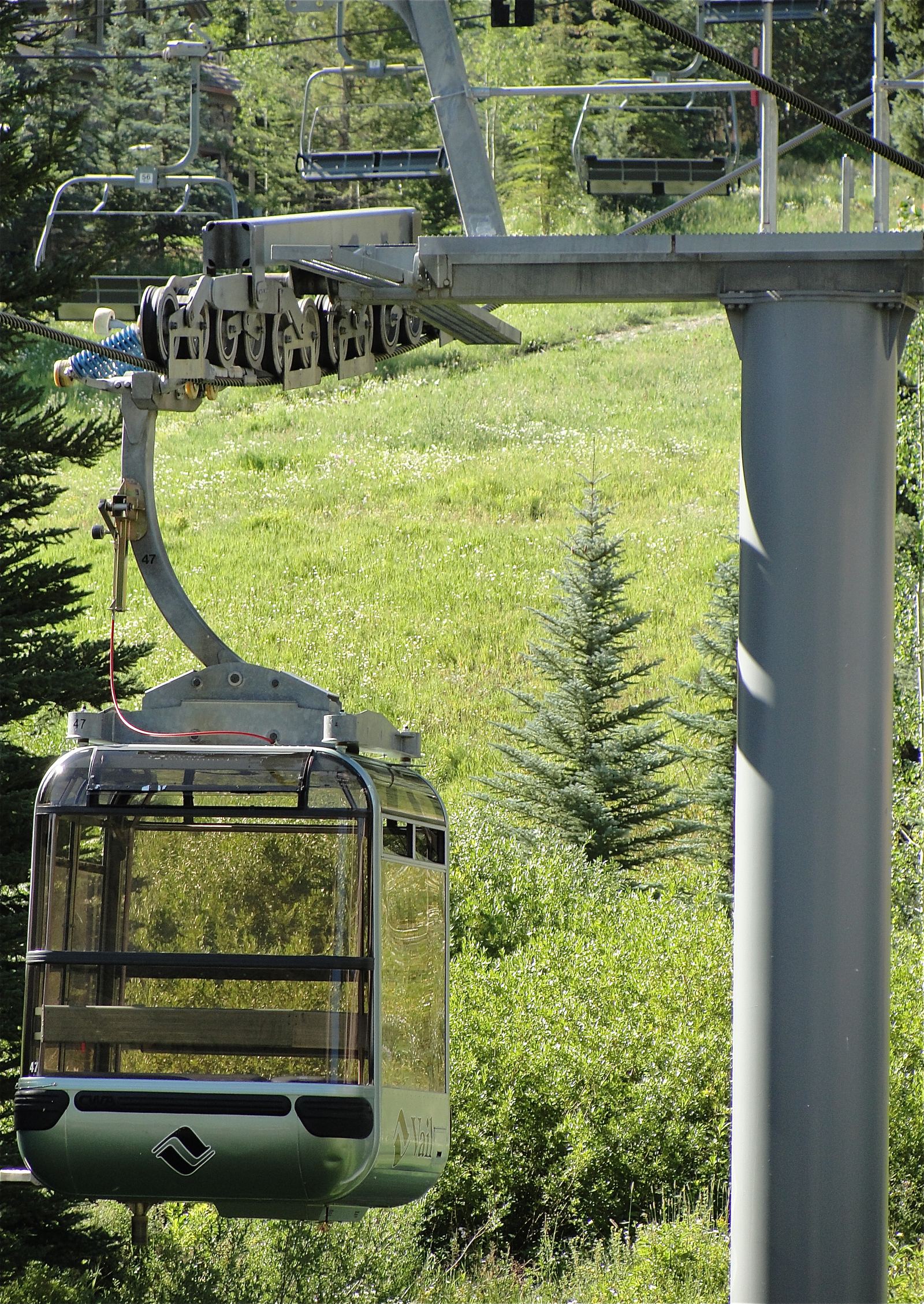
Vail Resorts' wayfinding guide splits the base into three areas. Vail Village is the central base, served by Gondola One. Lionshead, on the western side of the resort, is served by the Eagle Bahn Gondola. Golden Peak has the main ski and ride school and a terrain park.
Vail's official visitor site, run by the Vail Local Marketing District, fills in the walking route. It says you reach Vail Village by crossing the covered bridge and walking up Bridge Street, that pedestrian streets follow Gore Creek from Vail Village to Lionshead, and that Lionshead is a car free, Tyrolean style village with an ice rink. The Colorado Snowsports Museum is on the third level of the Vail Village Parking Structure, next to the Vail Village Covered Bridge.
The same visitor site says Town of Vail buses provide free transportation throughout Vail, including Vail Village and Lionshead, and that the in town system also serves East Vail and West Vail, with stops at or near trailheads. It lists public parking structures in Vail Village and in Lionshead. Parking rules and bus routes belong to the Town of Vail and change by season, so check them before you drive over.
Vail Mountain: the Back Bowls and Blue Sky Basin
Vail Resorts' mountain statistics list a summit of 11,570 feet, a base of 8,120 feet and 278 trails. The company's own pages disagree on acreage, so we leave that number out.
The Back Bowls are seven bowls: Sun Down, Sun Up, Tea Cup, China, Siberia, and Inner and Outer Mongolia. Vail Resorts calls Blue Sky Basin one of the most remote areas of the mountain.
Gore Creek, Betty Ford Alpine Gardens and the Ford Amphitheater
Gore Creek runs through Vail. Vail's official visitor site says the creek's Gold Medal water runs from where Red Sandstone Creek enters down to where Gore Creek meets the Eagle River. Anglers 16 and older need a Colorado fishing license from Colorado Parks and Wildlife.
Vail Resorts describes the Gore Valley Trail as a 12 mile route through Vail Village, Lionshead and nearby open spaces along the creek. Eagle County's planned Eagle Valley Trail, from Vail Pass to Glenwood Canyon, passes through Vail too.
In Ford Park, Betty Ford Alpine Gardens was founded in 1986 beside the Gerald R. Ford Amphitheater, at about 8,200 feet. The garden calls itself the highest botanical garden in the world. Bravo! Vail notes that the amphitheater can be reached on foot from Vail Village along the Gore Creek path.
Eagles Nest Wilderness and Vail Pass
The Gore Range is the heart of the Eagles Nest Wilderness, which Congress designated in 1976. The Forest Service puts it at 133,496 acres of the White River National Forest, with trails reachable from Silverthorne, Frisco and Vail. The agency's Vail area takes in the west side of Eagles Nest and the east side of the Holy Cross Wilderness. Two Elk Trail #2005 links East Vail with Forest Road 762 near Minturn; seasonal wildlife closures apply.
Exit 190, at the Vail Pass Rest Area, is the way into the Vail Pass Winter Recreation Area: 55,000 acres with more than 119 miles of motorized and non motorized winter trails. A permit is required, and the Forest Service lists the details. Outside the snow season, the paved Vail Pass/Tenmile Canyon National Recreation Trail follows the old Highway 6 over the pass from Gore Creek Campground to Copper Mountain.
The interstate over the pass has new lanes. CDOT celebrated the completion of its West Vail Pass Auxiliary Lanes project on November 16, 2026. Between the East Vail Interchange and the rest area it added a continuous third eastbound climbing lane, five wildlife underpasses with fencing and a passive system for avalanche and rockfall mitigation.
Recurring events in Vail through the year
Each of these recurring events sets its own dates.
- The GoPro Mountain Games fill four days each June with athletes, art, music and mountains. The event began as a local whitewater event in 2002, the Vail Valley Foundation runs it, and the athletic competitions are free to watch.
- The Bravo! Vail Music Festival held its first performance at the Gerald R. Ford Amphitheater in 1988.
- Vail Jazz holds its festival on Labor Day weekend and runs a workshop for gifted high school jazz musicians.
- The Vail Film Festival, once a spring event, is now held in December and run by the nonprofit Colorado Film Institute.
We do not print this year's dates. Our season by season events page sets the Mountain Games beside Avon's own calendar, and if you are fitting a Vail event into an Avon stay, ask the editors which official page to watch.