Town guide: Minturn
Minturn, Colorado, on US 24 toward Holy Cross and Camp Hale
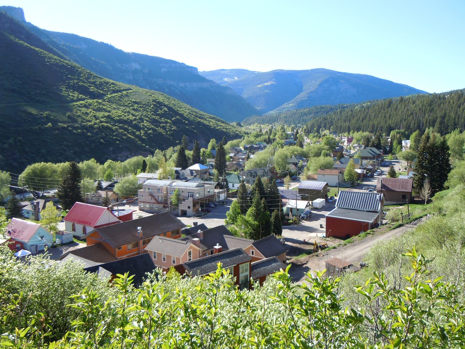
Minturn, Colorado is a home rule town of roughly a thousand people on US 24, just south of I-70 and up the Eagle River beyond Eagle-Vail, east of Avon. It is the town you pass through on the way to the Holy Cross Wilderness and Camp Hale, and the Forest Service runs its local ranger district from an office on the highway here.
Minturn from above. Photo: GoMinturn, CC BY SA 4.0
Route card
From Avon to Minturn.
- Where
- East of Avon, up the valley past Eagle-Vail, then south of I-70 on US 24.
- By road
- Take I-70 east to exit 171, which Eagle County Emergency Management names as the US 24 exit for Minturn and Leadville. US 24 runs from the interstate straight through town.
- By bus
- Core Transit (formerly ECO Transit) runs the Minturn Route from Vail through Eagle-Vail and Minturn to Red Cliff, and its Leadville Route also reaches most Minturn stops. The Highway 6 Route from Avon and the Minturn Route both stop in Eagle-Vail and Vail, so the trip takes a change of bus; Core Transit's timetables show where the two meet.
- Also
- The Minturn Route is fare free; fares apply on Leadville Route trips to and from Leadville.
Routes and seasons change. Confirm on the operator's own site before you set out.
- 1904
- Year Minturn incorporated as a townSource: Colorado Municipal League
- Exit 171
- The I-70 exit for US 24 and MinturnSource: Eagle County Emergency Management
- 1980
- Congress designated the Holy Cross WildernessSource: USDA Forest Service
- 53,804 acres
- Camp Hale-Continental Divide National MonumentSource: USDA Forest Service
What kind of town is Minturn, Colorado?
Minturn is an incorporated home rule town in Eagle County, and the Colorado Municipal League's directory dates its incorporation to 1904. It is small. The 2020 Census counted 1,033 residents, and the Census Bureau's estimate for July 1, 2025 was 986.
Even so, Minturn is one of the member jurisdictions of Core Transit, the regional bus authority, and one of the partners in Eagle County's ECO Trails program, which plans a paved Eagle Valley Trail from Vail Pass to Glenwood Canyon with Minturn on the route. Visit Vail Valley, the Vail Valley Partnership's visitor site, places Minturn between the Vail and Beaver Creek ski resorts, surrounded by White River National Forest land.
There is an old tie to Avon, too. The Town of Avon's history says that in the 1920s, box cars at the Avon Depot were loaded with ice from the Minturn ice house to keep the lettuce harvest cold on its way out by rail. Our page on Avon's history and neighborhoods picks up that story.
Where Minturn sits: exit 171, US 24 and the byway
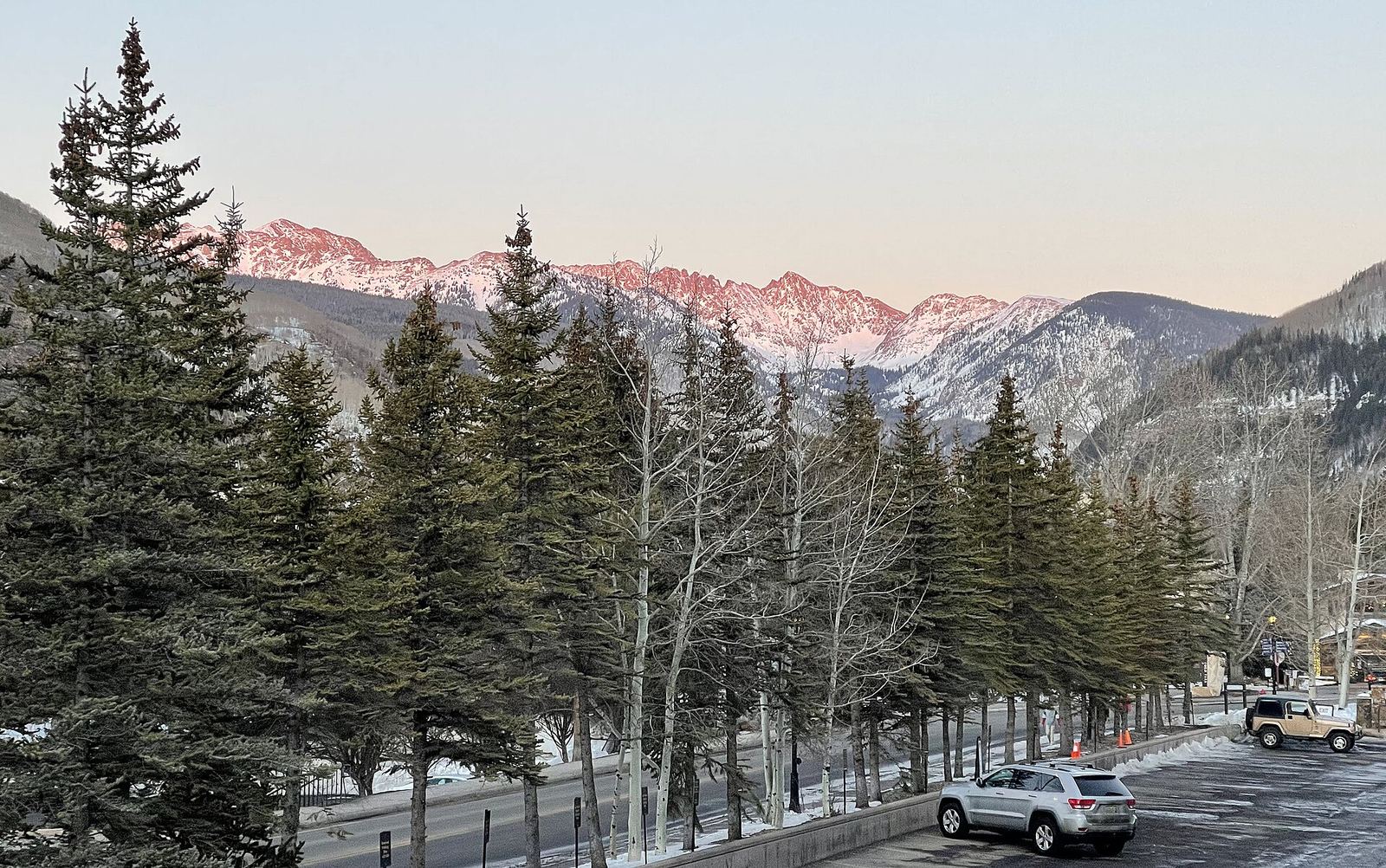
Minturn is upvalley from Avon. On I-70 you pass Eagle-Vail and leave the interstate at exit 171, the US 24 exit for Minturn and Leadville. US 24 then runs south of I-70 and through town. CDOT has worked on that stretch of highway, with resurfacing, rockfall mitigation and sidewalks.
Past town, US 24 is part of the Top of the Rockies Scenic Byway. CDOT lists Red Cliff, Minturn and Twin Lakes among the byway's small communities, and the route was named a National Scenic Byway in 1998.
The bus map matches the road. Core Transit's Minturn Route begins in the Town of Vail, stops in Eagle-Vail and Minturn, and ends in Red Cliff. For the I-70 winter rules and the rest of the valley's buses, see getting to Avon and around the valley.
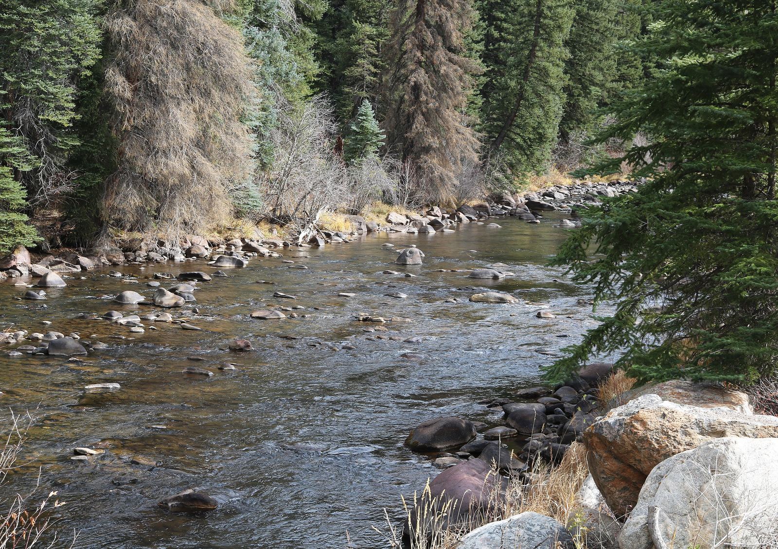
The Eagle River at Minturn: Little Beach Park and the Boneyard
Visit Vail Valley says the Eagle River surrounds Minturn, and that Little Beach Park sits between the Minturn cliffs and the river, with access for fishing and boating. That description comes from the visitor bureau, so check current access rules with the Town of Minturn.
The Boneyard is on firmer record. Great Outdoors Colorado describes it as open space southeast of Minturn along Highway 24 with nearly half a mile of Eagle River access. The Town bought it in 2013 with help from Eagle County Open Space, and the Eagle Valley Land Trust holds a conservation easement that protects it.
Anyone 16 or older needs a Colorado fishing license from Colorado Parks and Wildlife before casting here; younger anglers do not.
Holy Cross Wilderness, Tigiwon Road and the Half Moon trailhead
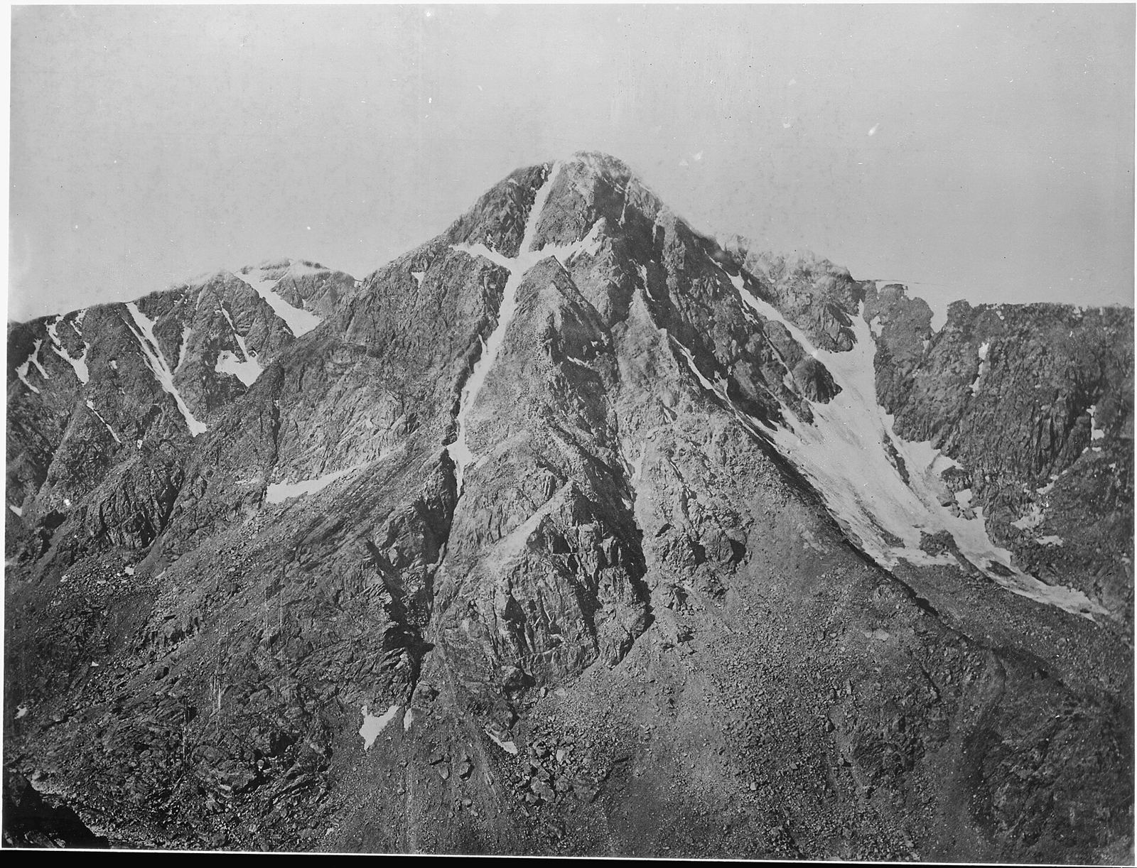
Congress designated the Holy Cross Wilderness in 1980. The Forest Service gives it 123,409 acres, managed by the White River and Pike San Isabel National Forests. It is named for Mount of the Holy Cross, which became famous in 1873 when William Henry Jackson first photographed the cross of snow on its northeast face.
From Minturn the approach is Tigiwon Road. The Forest Service describes it as leaving Highway 24 near Minturn and climbing to Halfmoon Campground, with the Tigiwon Community House along the way. COTREX, the state trail map run by Colorado Parks and Wildlife and the Colorado Department of Natural Resources, starts the standard route up Mount of the Holy Cross at the Half Moon trailhead at the end of the road. The road closes seasonally.
Two Elk Trail
Two Elk Trail #2005 runs between Forest Road 762 near Minturn and East Vail, managed by the Eagle-Holy Cross Ranger District. Seasonal wildlife closures apply. For shorter outings closer to town, our guide to Avon's trails covers the West Avon Preserve and the paved river path.
How far is Camp Hale from Minturn?
The Forest Service sends drivers to Camp Hale from I-70 exit 171 for Minturn and Highway 24, then says to "continue about 17 miles to Camp Hale, passing through Minturn." That route goes right through town. The same agency puts Camp Hale Memorial Campground about 15 miles south of Minturn.
Camp Hale trained the 10th Mountain Division during World War II. The Forest Service calls it the Army's first and only mountain infantry division, and says the camp had about 1,000 buildings at its height. Camp Hale became a national historic site in 1992 and is now part of Camp Hale-Continental Divide National Monument: 53,804 acres of the White River National Forest in Eagle and Summit Counties, and the 13th national monument the Forest Service manages.
Minturn Market on summer Saturdays
The Vail Valley Partnership lists the Minturn Market as an artisan market held on Saturdays through the summer, with food, produce, art, live music and a children's area, and it has billed the event as the original Eagle County market. The listing we found is an older one. Confirm this year's season with the Town of Minturn before you plan a Saturday around it.
A market morning fits easily into a warm weather stay in Avon; our summer in Avon page covers the lake, river and concerts back in town.
Before you head up US 24: who to check with
The Eagle-Holy Cross Ranger District of the White River National Forest manages land from the summit of Vail Pass through Glenwood Canyon, and its office is on US Highway 24 in Minturn. Most questions about the country south of town end up there.
| What you need to know | Who answers it |
|---|---|
| Tigiwon Road status and Holy Cross Wilderness rules | Eagle-Holy Cross Ranger District |
| Two Elk Trail wildlife closures | Eagle-Holy Cross Ranger District |
| Camp Hale campground and monument access | USDA Forest Service, White River National Forest |
| Minturn Route and Leadville Route times | Core Transit |
| Minturn Market season and town parks | Town of Minturn |
| I-70 and US 24 road conditions | CDOT COtrip, or 511 in Colorado |
For the other towns along the river, start at the Vail Valley towns hub. If you are planning a Minturn day from an Avon base and want a second opinion on the bus connection, ask the editors.