Eight town guides
The towns of the Vail Valley
Avon sits in the middle of a string of towns along I-70 and the Eagle River. Gypsum and Eagle are down valley to the west, Edwards is the next stop west, Eagle-Vail and Vail are up valley to the east, Minturn is south on US 24, and Beaver Creek is straight up the hill from Avon.
The eight towns, west to east
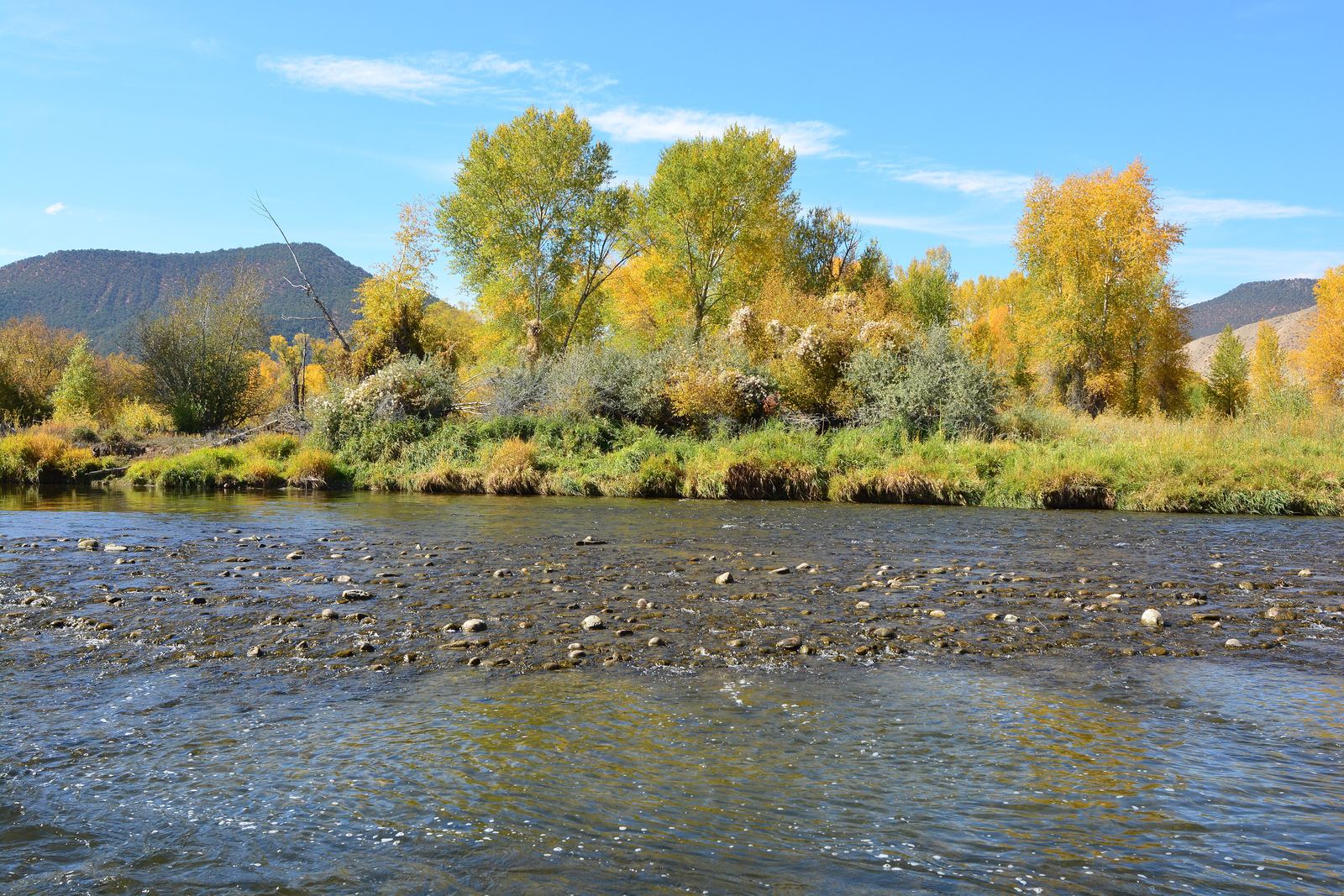
- 01Gypsum Exit 140GypsumSettled in 1881 and incorporated in 1911, Gypsum is named for gypsum deposits found in a nearby creek. Eagle County Regional Airport is here, and the Core Transit Valley Route connects it with Avon; fares apply on trips to and from the airport and Gypsum.Read the Gypsum guide The Eagle River at Gypsum. Photo: Joe Mabel, CC BY SA 4.0
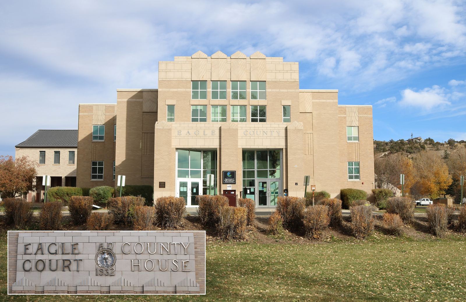
- 02Eagle Exit 147EagleThe county seat since 1921 and a town since 1905. BLM land in the Hardscrabble East Eagle area, where mountain biking is the emphasis near town, starts at its edge, and Eagle River Park holds a whitewater park. The Valley Route stops here.Read the Eagle guide The old Eagle County Court House, Eagle. Photo: Jeffrey Beall, CC BY 4.0
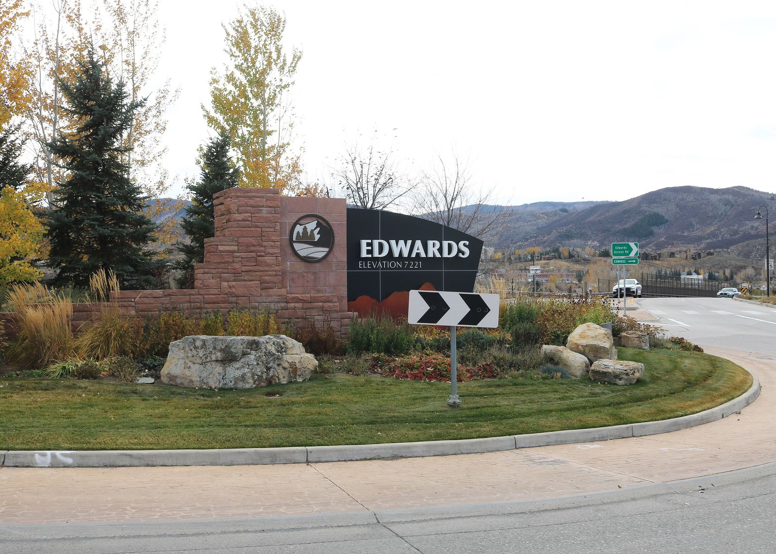
- 03Edwards Exit 163EdwardsAn unincorporated community with no town government, the next stop west of Avon on US 6. The Eagle River runs through its center and the 72 acre Eagle River Preserve sits in the middle of it. Highway 6 and Valley routes.Read the Edwards guide Entering Edwards. Photo: Jeffrey Beall, CC BY 4.0
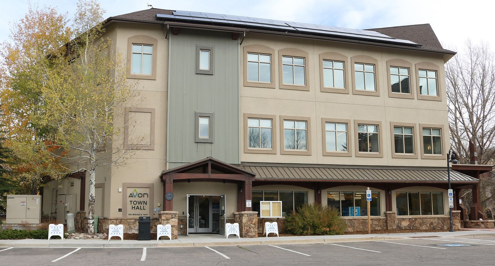
- 04Avon Exit 167AvonIncorporated in 1978 on land long held by the Nottingham family. Free town buses, Nottingham Park and Lake, the whitewater park under Bob the Bridge, and the gondola to Beaver Creek Landing in ski season. The town page covers its history and neighborhoods.Read the Avon guide Avon Town Hall. Photo: Jeffrey Beall, CC BY 4.0
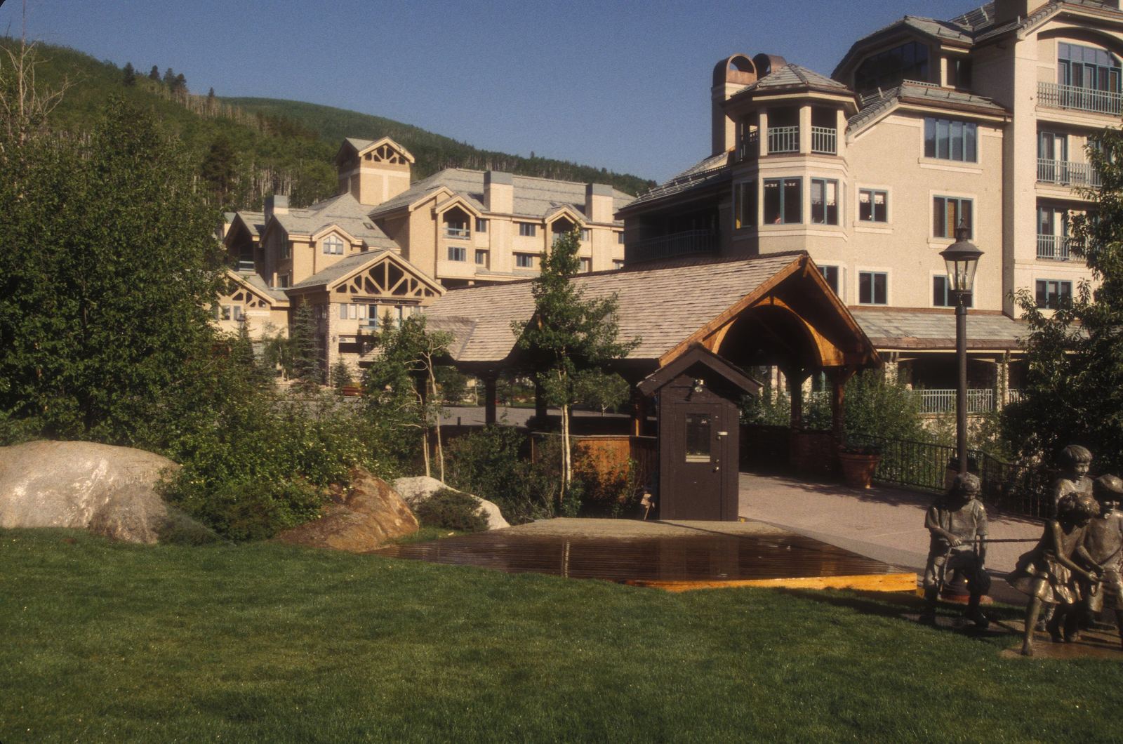
- 05Beaver Creek Above AvonBeaver CreekAn unincorporated resort community that opened in 1980, with three base areas: Beaver Creek Village, Bachelor Gulch and Arrowhead. From Avon, the free gondola runs in ski season and Avon buses stop at the Elk Lot.Read the Beaver Creek guide A covered footbridge over Beaver Creek. Photo: Jerrye and Roy Klotz, MD, CC BY SA 3.0
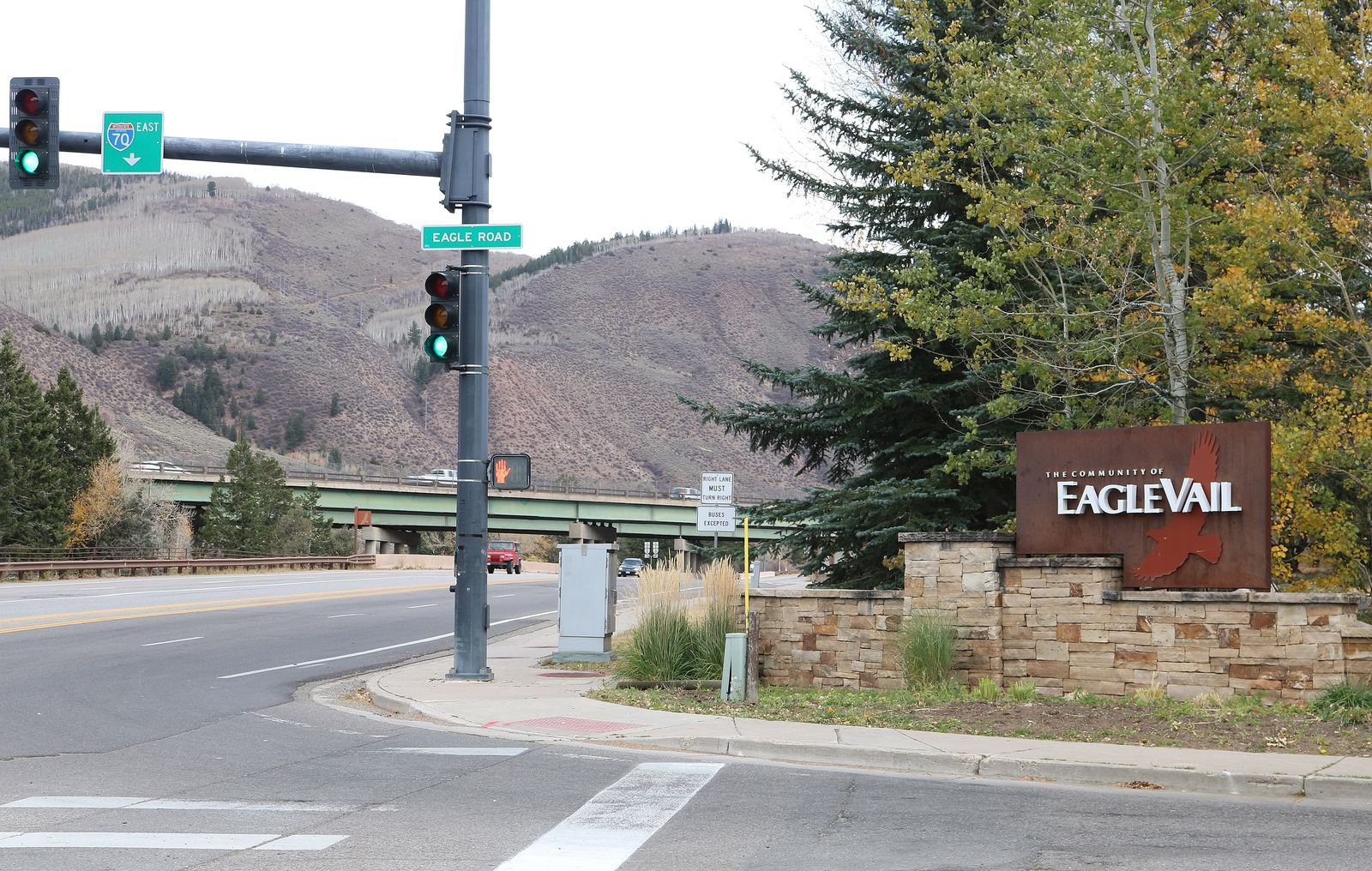
- 06Eagle-Vail Between Avon and VailEagle-VailUnincorporated, governed by a metropolitan district with a five member elected board, and spelled "EagleVail" by the district itself. It sits at the west end of Dowd Canyon. Highway 6 and Minturn routes stop here.Read the Eagle-Vail guide Eagle Road at US 6, Eagle-Vail. Photo: Jeffrey Beall, CC BY 4.0
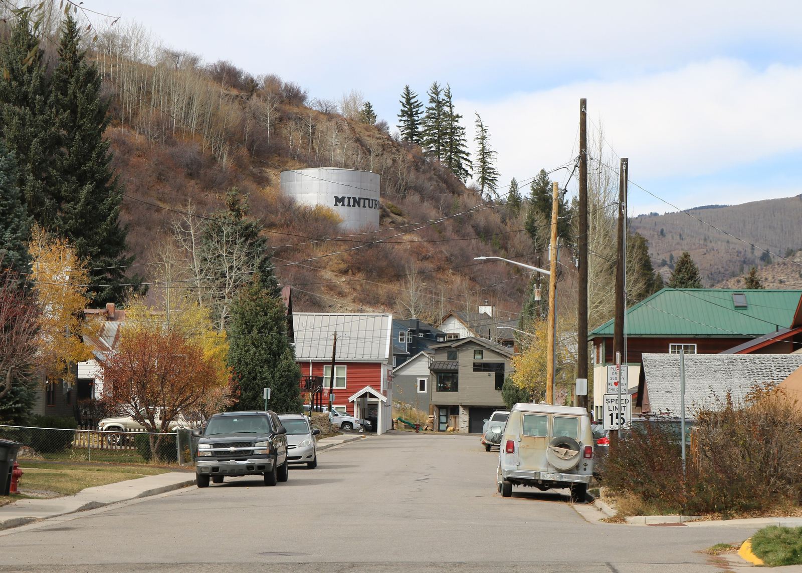
- 07Minturn Exit 171, US 24MinturnA home rule town incorporated in 1904, on US 24 where it runs south from I-70. The Forest Service ranger district office is here, and the road toward the Holy Cross Wilderness and Camp Hale runs through town. Core Transit's Minturn Route.Read the Minturn guide Pine Street, Minturn. Photo: Jeffrey Beall, CC BY 4.0
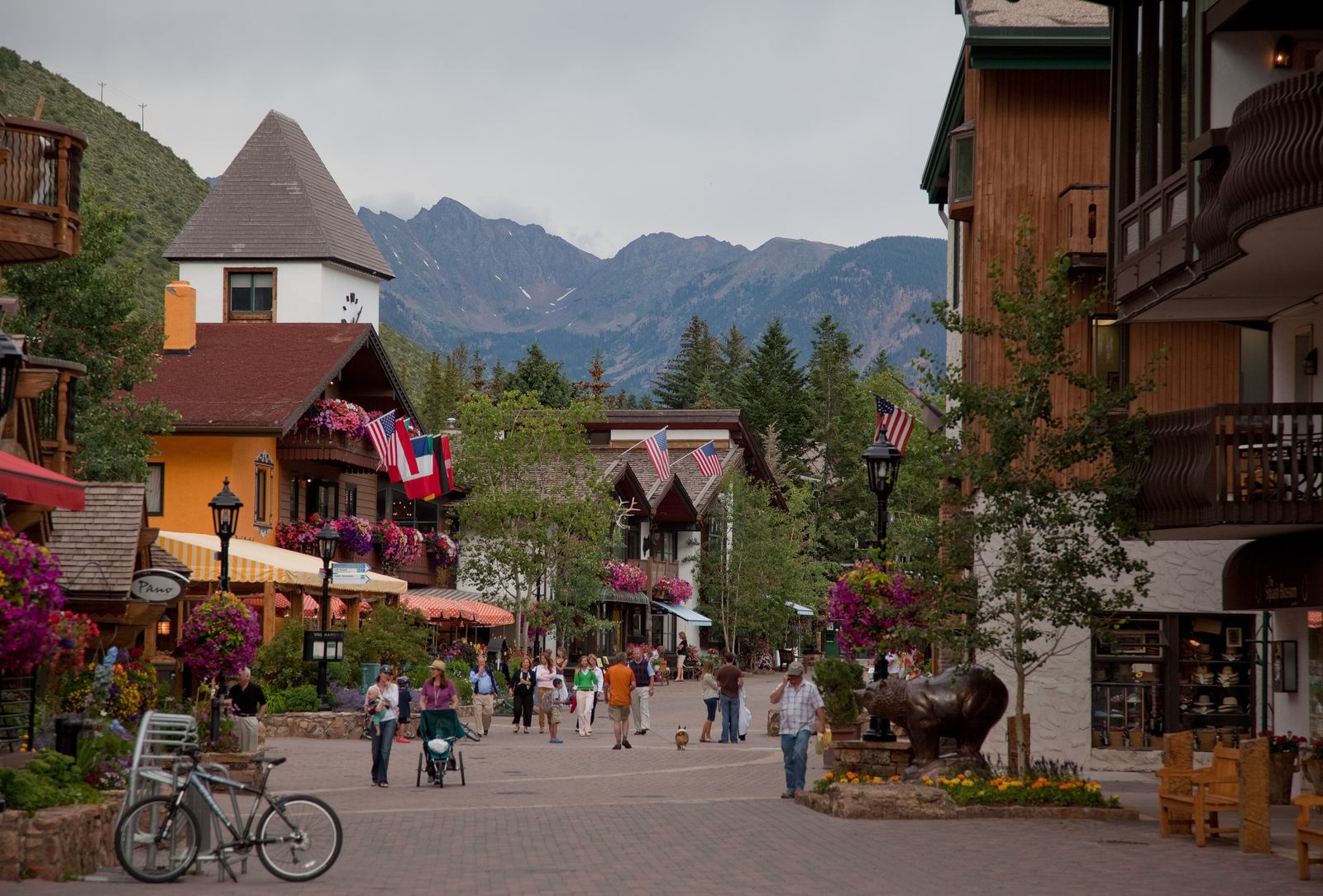
- 08Vail Exits 173, 176, 180VailEast of Avon over Dowd Canyon. The ski resort opened in 1962 and the town takes its name from Charlie Vail, the engineer behind the road over Vail Pass. Valley, Highway 6 and Minturn routes all reach Vail.Read the Vail guide Gore Creek Drive, Vail Village, July. Photo: Nick Csakany, CC BY SA 4.0
Hover or focus a town to open it. Ordered west to east, with Beaver Creek and Minturn placed where you turn off the valley floor.
The strip map
How the valley lines up.
One interstate, one river and one regional bus system tie the towns together. The exit numbers below come from CDOT, Eagle County and the resort's own driving directions; the Eagle-Vail exit is left unlabeled because no official page we read names it.
Getting between the towns by bus
Core Transit (formerly ECO Transit) is the regional bus for Eagle County, run by the Eagle Valley Transportation Authority that county voters approved in November 2022. Most routes are fare free, paid for by a half penny sales tax. Fares still apply for trips to and from Eagle County Regional Airport, Gypsum or Leadville. In Avon, regional buses meet at Avon Station.
| Route | Towns served | Note |
|---|---|---|
| Valley Route | Vail, Avon, Edwards, Eagle, the airport, Gypsum, Dotsero | Fares apply to and from the airport and Gypsum |
| Highway 6 Route | Vail, Eagle-Vail, Avon, Edwards | Follows US 6 below I-70 |
| Minturn Route | Vail, Eagle-Vail, Minturn, Red Cliff | The Leadville Route also reaches most Minturn stops |
| Leadville Route | Leadville and Vail | Commuter service; fares apply for Leadville trips |
| Vail/Beaver Creek Express | Vail, Avon, Beaver Creek Village | Winter only |
Route names, stops and seasons change. Check Core Transit's routes and schedules page before you ride, and see getting to Avon and around the valley for the airport, I-70 and the free Avon town buses. If you are weighing where to base a trip, our lodging areas guide compares the towns by how they connect, and you can ask the editors about your dates.
One form, read by people
Ask the editors a question.
Buses, seasons, lodging areas, trails or moving here: tell us what you are planning and we answer by email. Spotted something out of date? Use the second option.
Photo: Jeffrey Beall, CC BY 4.0