Town guide: Eagle
Eagle, Colorado, the county seat down valley from Avon
Eagle, Colorado is the seat of Eagle County, a home rule town on the Eagle River down valley from Avon, past Edwards on I-70. The railroad reached it in 1887, and the Town now counts about 81 miles of singletrack in and around Eagle.
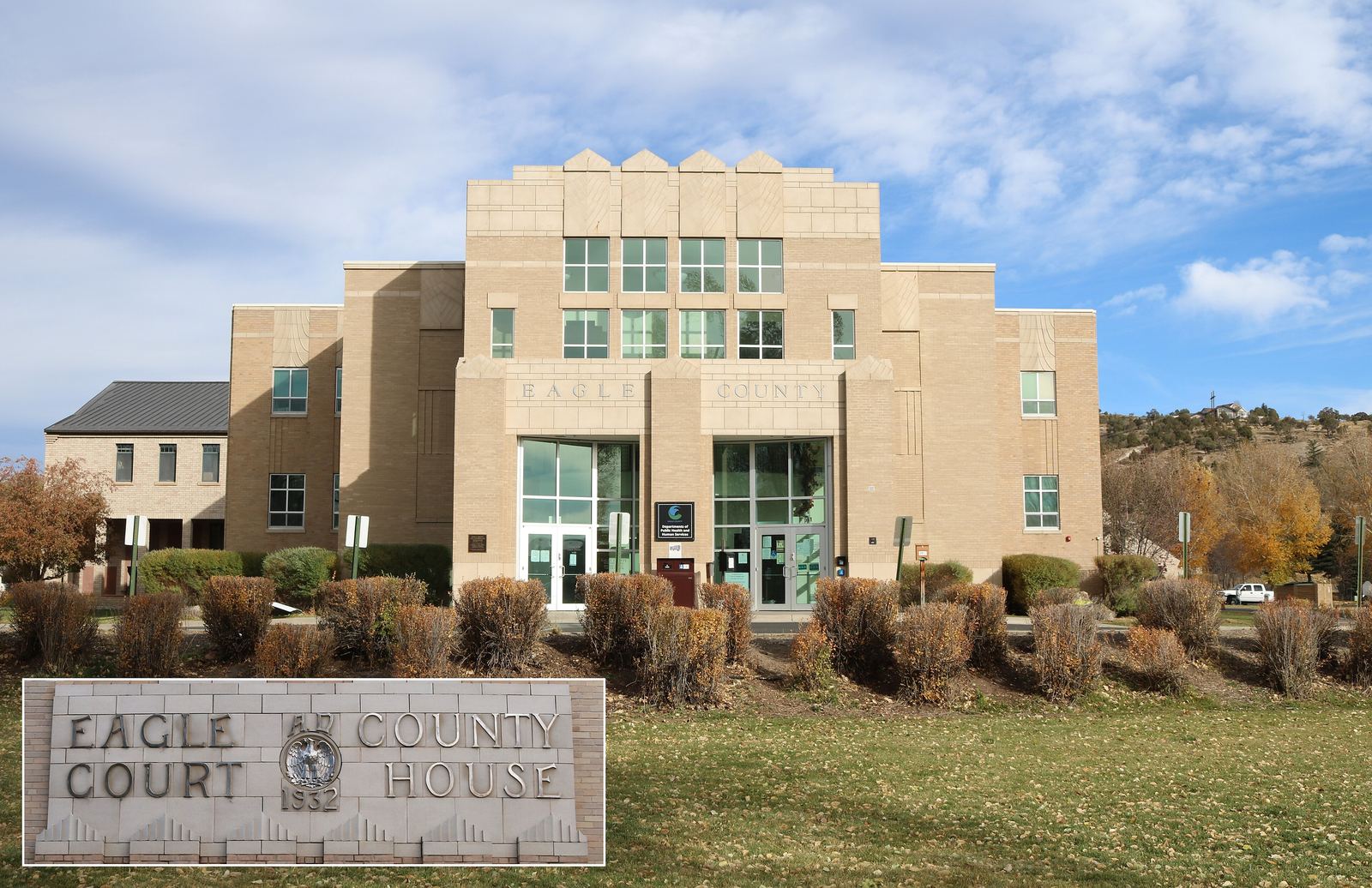
The old Eagle County Court House, Eagle. Photo: Jeffrey Beall, CC BY 4.0
Route card
From Avon to Eagle.
- Where
- West of Avon, down the Eagle River beyond Edwards.
- By road
- Take I-70 west from the Avon exit (167) to exit 147, which CDOT identifies as the Eagle interchange.
- By bus
- Core Transit (formerly ECO Transit) runs its Valley Route between Vail and Dotsero with stops in Avon, Edwards and Eagle. Fares apply only to trips to and from the airport, Gypsum or Leadville, and Eagle itself is not on that list.
- Also
- Eagle County's ECO Trails program plans a paved, non motorized Eagle Valley Trail of about 63 miles from Vail Pass to Glenwood Canyon; check which pieces are open before you plan to ride it.
Routes and seasons change. Confirm on the operator's own site before you set out.
- 1921
- County seat of Eagle County sinceSource: Town of Eagle
- Exit 147
- The Eagle interchange on I-70Source: Colorado Department of Transportation
- 7,511
- Residents counted in the 2020 CensusSource: US Census Bureau
- 1,371 acres
- Town owned open space in 61 parcelsSource: Town of Eagle
What kind of town is Eagle, Colorado?
Eagle is an incorporated home rule town. It runs on a council manager form of government, and its seven member town council is elected at large. Of the places in our guide to the Vail Valley towns, it is the one where county business happens: Eagle has been the seat of Eagle County since 1921.
That was not the original arrangement. Eagle County was carved out of Summit County in 1883, and Red Cliff, up the valley, was its first county seat. County government moved west to Eagle in 1921 and has stayed.
The 2020 Census counted 7,511 people in the Town of Eagle. The Census Bureau's estimate for July 1, 2025 is lower, at 7,280.
The Town gives its own position as "135 miles west of Denver, on Interstate 70 or 30 miles west of Vail," and adds that "Eagle is 5 miles from the Eagle County Regional Airport (EGE)." Avon lies on that line between Vail and Eagle.
From Castle to Eagle: the names, the railroad and the ranches
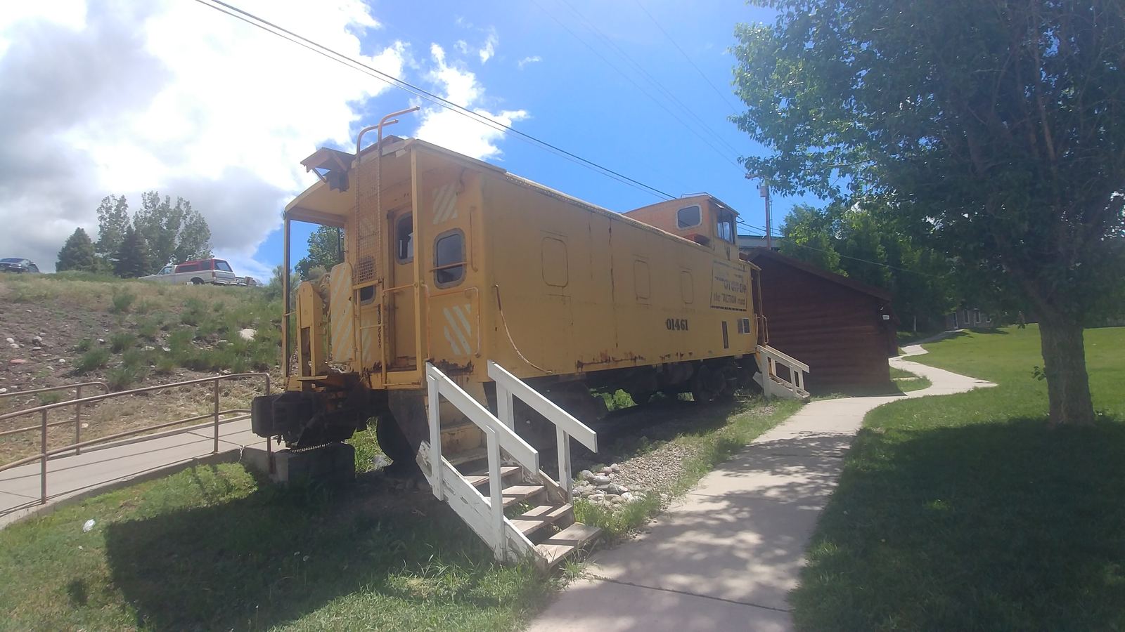
In the mid 1880s William Edwards bought a 156 acre site where Brush Creek meets the Eagle River and named the town Castle. The name did not last. The Town of Eagle lists Brush, Eagle River Crossing, Rio Aquilla and McDonald among the earlier names, and Eagle was settled on by the mid 1890s.
| Year | What happened | Source |
|---|---|---|
| 1883 | Eagle County carved from Summit County, with Red Cliff as county seat | Eagle County |
| 1887 | Town established; the Denver and Rio Grande Railroad reaches Eagle | Town of Eagle |
| Mid 1890s | The name Eagle is settled | Town of Eagle |
| 1905 | Eagle incorporates | Town of Eagle |
| 1921 | County government moves to Eagle | Eagle County |
| 1922 | First Flight Days, then a September harvest celebration | Eagle tourism site |
Eagle was a farming and ranching town for most of its history, raising cattle, hay and potatoes. For the longer story, the Eagle County Historical Society Museum is in Chambers Park, which sits along the Eagle River at the Town's Welcome Center.
How Eagle lines up with Avon, Edwards and Gypsum
Heading west from Avon on I-70, you pass exit 163 for Edwards, the unincorporated community between Avon and Eagle, before reaching exit 147. The Valley Route bus follows the same order. Beyond Eagle it stops at Eagle County Regional Airport and then in Gypsum, the next town west and home of the airport, before it ends at Dotsero.
That order matters for fares. A ride from Avon to Eagle stays inside the part of Core Transit that is fare free; stay on to the airport or Gypsum and a fare applies. Eagle is also one of the member jurisdictions of the Eagle Valley Transportation Authority, the body behind Core Transit.
In winter, Eagle and Avon both sit on the stretch of I-70 between Dotsero and Morrison where Colorado's Traction Law applies from September 1 through May 31. Our notes on I-70, the airport and the regional buses cover the rules and where to check conditions.
Open space in Eagle: Brush Creek, Eagle Ranch and the river park
The Town of Eagle owns 61 open space parcels totaling 1,371 acres in and next to town, grouped into 13 open space areas. Three are worth knowing by name.
Brush Creek Open Space covers 145 acres. It has the Brush Creek Pavilion and a playground, a kids' fishing pond, a community garden and the paved Brush Creek path, and it borders parts of the Eagle Ranch neighborhood. Eagle Ranch Open Space is much bigger, about 862 acres, and it connects to BLM land, county open space and the neighborhood itself. It also has a seasonal winter wildlife closure, so a trail that was open in October may not be open in January.
South of town along Brush Creek Road, Eagle County's 1,671 acre Brush Creek Valley Ranch and Open Space is protected by a conservation easement held by the Eagle Valley Land Trust.
On the river itself, Eagle River Park is a 4.3 acre town park on Fairgrounds Road, built around a whitewater park. If you already know Avon's river park under Bob the Bridge, this is the down valley counterpart; our summer in Avon guide covers the Avon side.
Mountain biking around Eagle: Haymaker and the BLM trails
The Town counts about 81 miles of singletrack and 37 miles of paved paths in and around Eagle, including 18 miles of the Eagle Valley Trail. Two landowners matter most: the Town and the Bureau of Land Management.
Town trails and the Haymaker Trailhead
The Haymaker Trailhead, which the Town manages with the Mountain Recreation district, has a parking lot, a BMX track, a bike park, a pump track and access to the Haymaker trail. Most of the trail's first loop runs through the northern parcel of the Haymeadow Open Space, two parcels totaling 58.8 acres around the Haymeadow neighborhood.
BLM's Hardscrabble East Eagle area
The Bureau of Land Management's Hardscrabble East Eagle Special Recreation Management Area covers 21,900 acres. Its eastern part, around Eagle, is managed with mountain biking in mind; motorized use is concentrated in the western part. BLM's Colorado River Valley Field Office in Silt manages it, and the area was developed with Eagle County Open Space and the towns of Eagle and Gypsum.
BLM names Boneyard, Pool and Ice, Love Connection, Hay Maker and Abram's Ridge among the popular bike trails near Eagle. Its trailheads include the Pool and Ice Rink, Horton Street and Abram's Gulch.
Much of this network closes to bikes and motorized use in winter and early spring to protect wintering wildlife, with a few named exceptions. BLM publishes the dates on its Hardscrabble map; we leave them there. For riding closer to home, compare the West Avon Preserve and Avon's trail network.
Sylvan Lake State Park, south on Brush Creek Road
Colorado Parks and Wildlife says the Sylvan Lake State Park visitor center is 10 miles south of Eagle on Brush Creek Road, reached from I-70 exit 147. The lake covers 42 acres at about 8,500 feet, is stocked with trout and is surrounded by the White River National Forest. The park also has trails and rental cabins.
Anglers 16 and older need a Colorado fishing license; CPW lets youth 15 and under fish without one. Road conditions, cabins and park rules all belong to CPW, so check its Sylvan Lake page before the drive.
Flight Days, the county fair and Christmas on Broadway
Eagle Flight Days goes back to 1922. It began as a September harvest celebration, according to the Town's tourism site, and is now held each June with a parade downtown. The Eagle Chamber of Commerce sponsors it.
July brings the Eagle County Fair and Rodeo, and December brings Christmas on Broadway. The Town lists all three as annual events. We do not print this year's dates; the organizers do, and they change.
If you are building a trip around one of them and want to know how it fits with a stay in Avon, send the editors your question.