Town guide: Edwards
Edwards, Colorado, one stop west of Avon
Edwards, Colorado is an unincorporated community on the Eagle River, the next place west of Avon along US 6. It has no mayor and no town council, yet the 2020 Census counted more people there than in the towns of Vail, Eagle or Gypsum.
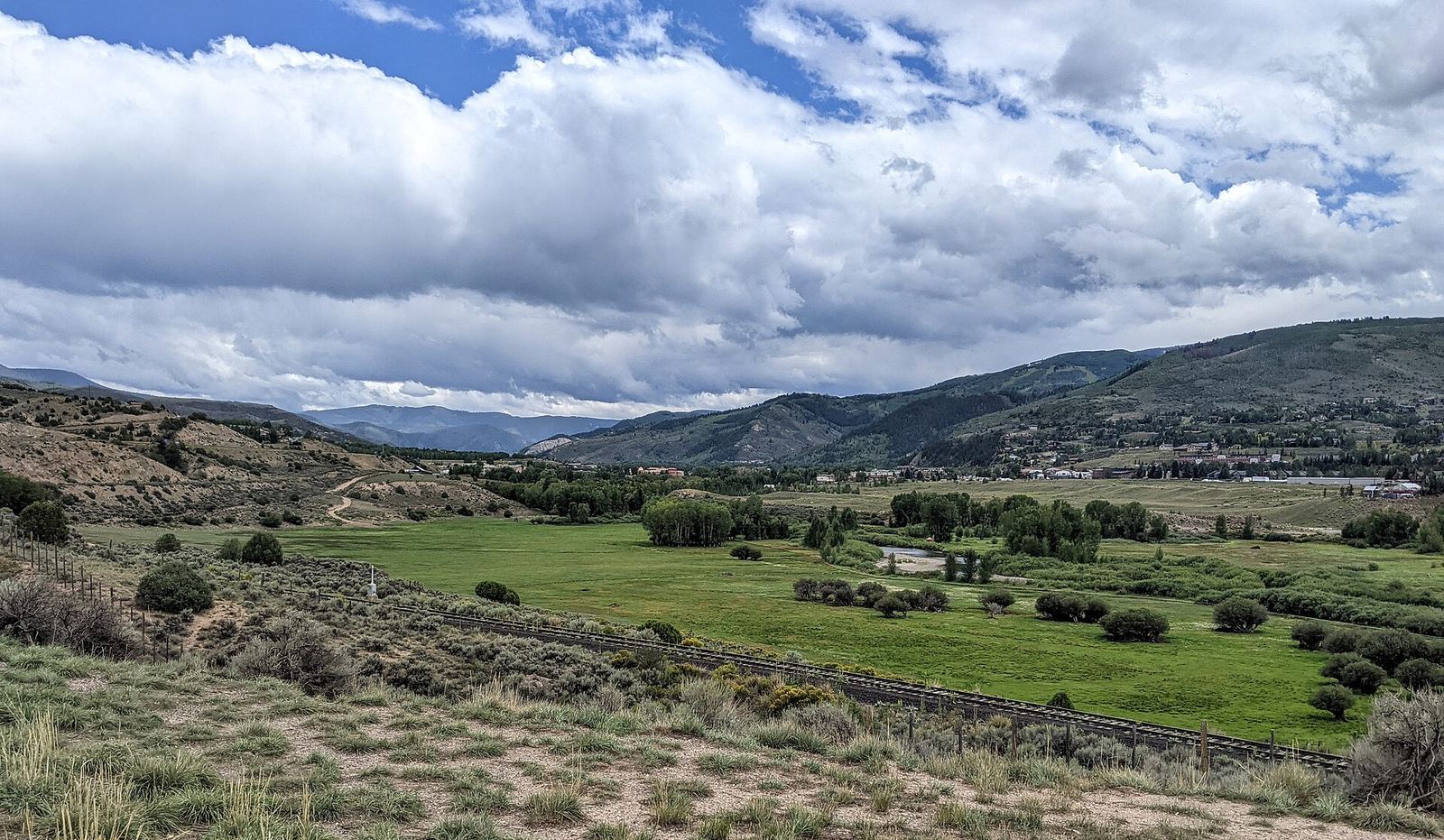
The Eagle River valley toward Edwards, August. Photo: Dicklyon, CC BY SA 4.0
Route card
From Avon to Edwards.
- Where
- Down valley to the west: Edwards is the next community past Avon on US 6.
- By road
- On I-70, Edwards has its own interchange at exit 163, where Avon's is 167. US 6 links the two as well, and the Edwards Spur Road connects the interstate with US 6 in Edwards.
- By bus
- Two Core Transit (formerly ECO Transit) routes stop in both places: the Highway 6 Route, which runs from Edwards through Avon and Eagle-Vail to Vail, and the Valley Route between Vail and Dotsero. A ride between Avon and Edwards is fare free; Core Transit charges fares only on trips to or from the airport, Gypsum or Leadville.
- Also
- The Town of Avon says the non motorized Eagle Valley Trail connects Avon with Edwards, and the Shift Bike electric bike share runs from East Vail to Edwards.
Routes and seasons change. Confirm on the operator's own site before you set out.
- Exit 163
- The I-70 interchange CDOT rebuilt for EdwardsSource: Colorado Department of Transportation
- 11,246
- People in the Edwards CDP, 2020 CensusSource: US Census Bureau
- 72 acres
- Eagle River Preserve, owned by Eagle CountySource: Edwards Metropolitan District
- 1984
- Year the metro district gained wider powersSource: Edwards Metropolitan District
Is Edwards, Colorado a town?
No. Edwards has no municipal government, and the Edwards Metropolitan District says Eagle County and other public bodies provide services such as police, planning and fire protection. CDOT's interchange project pages settle on "the unincorporated town of Edwards, CO," a phrase that captures the in between status well enough.
The district started life as a water district. In 1984 it became a metropolitan district with expanded powers, and its work now follows the Edwards Area Community Plan, created in 2003 and updated in 2017. A question that would go to a town hall in Avon goes to Eagle County or to the district here, depending on the subject.
The status undersells the size. The district calls Edwards the largest unincorporated community in Eagle County, and the 2020 Census counted 11,246 people in the Edwards census designated place. The same census counted 4,835 in the Town of Vail, 7,511 in the Town of Eagle and 8,040 in the Town of Gypsum. Read those as statistical areas, not equivalent town limits. Edwards is one of eight places in our guide to the Vail Valley towns.
Exit 163 and the Spur Road roundabouts
CDOT rebuilt the Edwards Interchange at I-70 exit 163, and in May 2011 it announced the new interchange was ready for summer traffic. The project was paid for with American Recovery and Reinvestment Act money.
The Edwards Spur Road is the north and south link between I-70 and US 6. CDOT built roundabouts on its northern half, so expect roundabouts between the interstate and US 6.
Here is how Edwards lines up with its neighbors on the interstate and the regional bus. Exit numbers rise as you head east, up valley.
| Place | I-70 exit | Core Transit routes that stop there |
|---|---|---|
| Eagle | 147 | Valley Route |
| Edwards | 163 | Valley Route, Highway 6 Route |
| Avon | 167 | Valley Route, Highway 6 Route, seasonal Vail/Beaver Creek Express |
The Valley Route continues west from Edwards to Eagle, the county seat, then to the airport, Gypsum and Dotsero. East along the same line is Avon, whose history and neighborhoods have their own page. For the airport, winter driving rules and the free town buses, our getting here and getting around guide has the details.
The Eagle River Preserve, Edwards' "Central Park"
The Eagle River Preserve is a 72 acre site in the heart of Edwards. Eagle County owns it, and the Edwards Metropolitan District says the community calls it Edwards' "Central Park." The county places it at about mile marker 165.5 on US Highway 6.
The Eagle River forms its northern edge. According to the district, the land has been a Native American home, a stage stop and a working ranch. Today people use it for nature walks, bird and wildlife watching, fly fishing and picnics, and in winter for snowshoeing.
It is the obvious first stop for a visitor with an hour in Edwards and no plan.
More Eagle County open space around Edwards
The Preserve is the best known parcel, not the only one. Eagle County lists three more in and around Edwards.
- Miller Ranch Open Space runs along the Eagle River in eastern Edwards, with wetlands, riparian woodland, meadow and shrubland.
- Cordillera L Open Space lies south of I-70 between Edwards and the Cordillera residential neighborhood, a mix of sagebrush, mountain shrubland and aspen and conifer forest.
- Homestead L Open Space is part of the Homestead neighborhood, south of US Highway 6.
The county's open space properties page describes each parcel. Check it before you go, especially with a dog or a bike.
Boating and fishing the Eagle River from Edwards
Eagle County's Lake Creek Boat Ramp, in west Edwards, is a popular put in and take out for boaters on the Eagle River.
Fly fishing is one of the listed uses at the Eagle River Preserve. Colorado Parks and Wildlife requires a fishing license for anglers 16 and older, sold online through CPWShop.com; youth 15 and under fish without one.
For the water closer to Avon, including the whitewater park under Bob the Bridge and paddling on Nottingham Lake, see our Eagle River and Nottingham Lake guide.
The Riverwalk, the college and staying in Edwards
Visit Vail Valley describes Edwards as home to the pedestrian friendly Riverwalk next to the Eagle River.
Colorado Mountain College's Vail Valley at Edwards campus is on Miller Ranch Road. It has certificates, associate and bachelor's degrees, and ESL, GED and lifelong learning courses. Mountain Recreation, the Eagle County recreation district that runs the Gypsum Recreation Center, says it mainly serves residents from Edwards to Dotsero.
Visit Vail Valley places Edwards west of both Vail and Beaver Creek. Staying here means a bus or a drive to the lifts each morning; our comparison of lodging areas around Avon sets that against staying in Avon's Town Core or at the resort. If you are torn between the two, send the editors your question.